April 15, 2019. The iconic Notre Dame cathedral took a devastating blow as a fire broke out internally and the roof partially collapsed as a result. How could such a history be rebuilt to its former state? Well, by looking at the building in its former state! Not by photographs or detailed drawings, but a digital environment. A detailed 3D scan of the cathedral was taken years prior and has been helping with the restoration process by looking at the possibilities while keeping its quiddity.
What does this mean for other historical wonders? How may the technology of today preserve the architecture of the past even when it is not physically there? I am not only talking about buildings constructed centuries ago. What would be the significance of scanning the architecture of a little railroad town in South Dakota?
History of Brookings
Brookings is one of many towns built along the Chicago and North Western railroad. The city began developing in 1879 from the Jeffersonian grid along the railroad on Main Avenue.
Branching out from Main Avenue, Brookings began to fill, and as more and more of it developed, architecture was measured and hand-drawn by surveyors every time. One governing building has been in place since 1883—the courthouse. In many places, government buildings are seen on a hill or at the end of an axis, but in Brookings it is hidden away from the commotion.
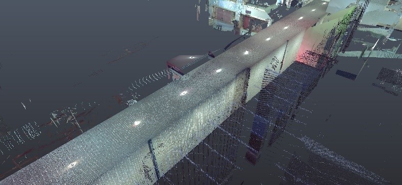
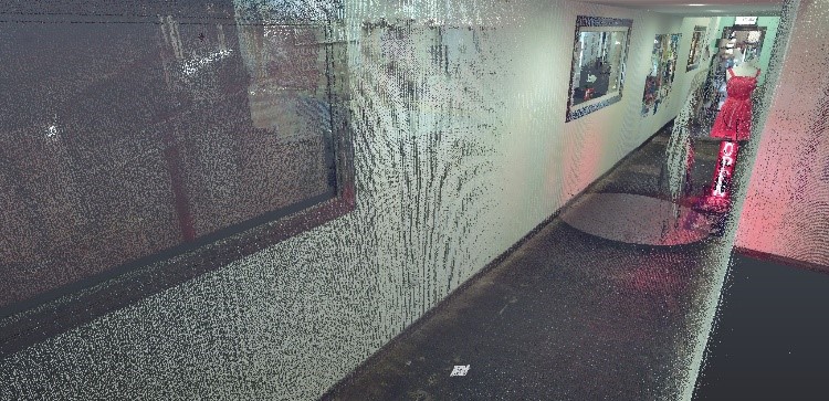
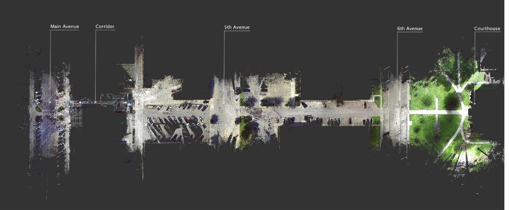
There is an axis that runs from Main Avenue to the courthouse, but the view is blocked by businesses. It can be seen from an aerial view, but the interior exhibits more than one business blockade. One could go into the buildings and see there is a hallway running through from Main Avenue, into Kool Beans, and out towards the courthouse. Who would really know? People walk into the boutiques or get a coffee and are unaware of the history beyond the walls. Like Notre Dame, how could history be restored or reimagined using a laser scanner?
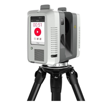
Laser Scanning
First, what is a laser scanner and how does it work? The scanner creates something called a “point cloud” through the connection of scans made through the usage of mirrors and lasers. Laser pulses take distance measurements at the set range. Now, this is a direct recording of displacement in space over larger distances, unlike camera-based photogrammetry, which uses algorithms in comparing object displacement in multiple photos. Each scan is then uploaded into a program, like Recap, and stitched together to form a 3D model of the scanned environment. As easy as it may seem it takes time to obtain the scans and organize them into a polished state.
Future for Architecture
Now that we have a scan of Main Avenue to the courthouse, studies may be conducted on how people may connect to the town’s history. An arcade could be designed in creating a tunnel view of the courthouse to those strolling on Main Avenue. There is a parking lot behind Kool beans. It could be replaced by a park or seating area to emphasize the government building. As a student studying architecture, digital 3D models are not only helpful in creating what I see in my head but seeing what could be and preserving was is.
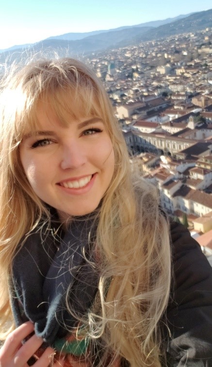
Autumn Schlomer
Autumn is a third-year architecture student currently enrolled at South Dakota State University. This summer, she plans to intern at JLG Architects in Brookings and experience the work of a professional firm. With her passion of studio arts and integrating the old with the new, Autumn is looking forward in continuing and exploring her education at South Dakota State University and working towards her Bachelor’s degree. A Master’s degrees in Classical architecture and restoration is straight down her path.


What a cool toy (ahem, tool)!